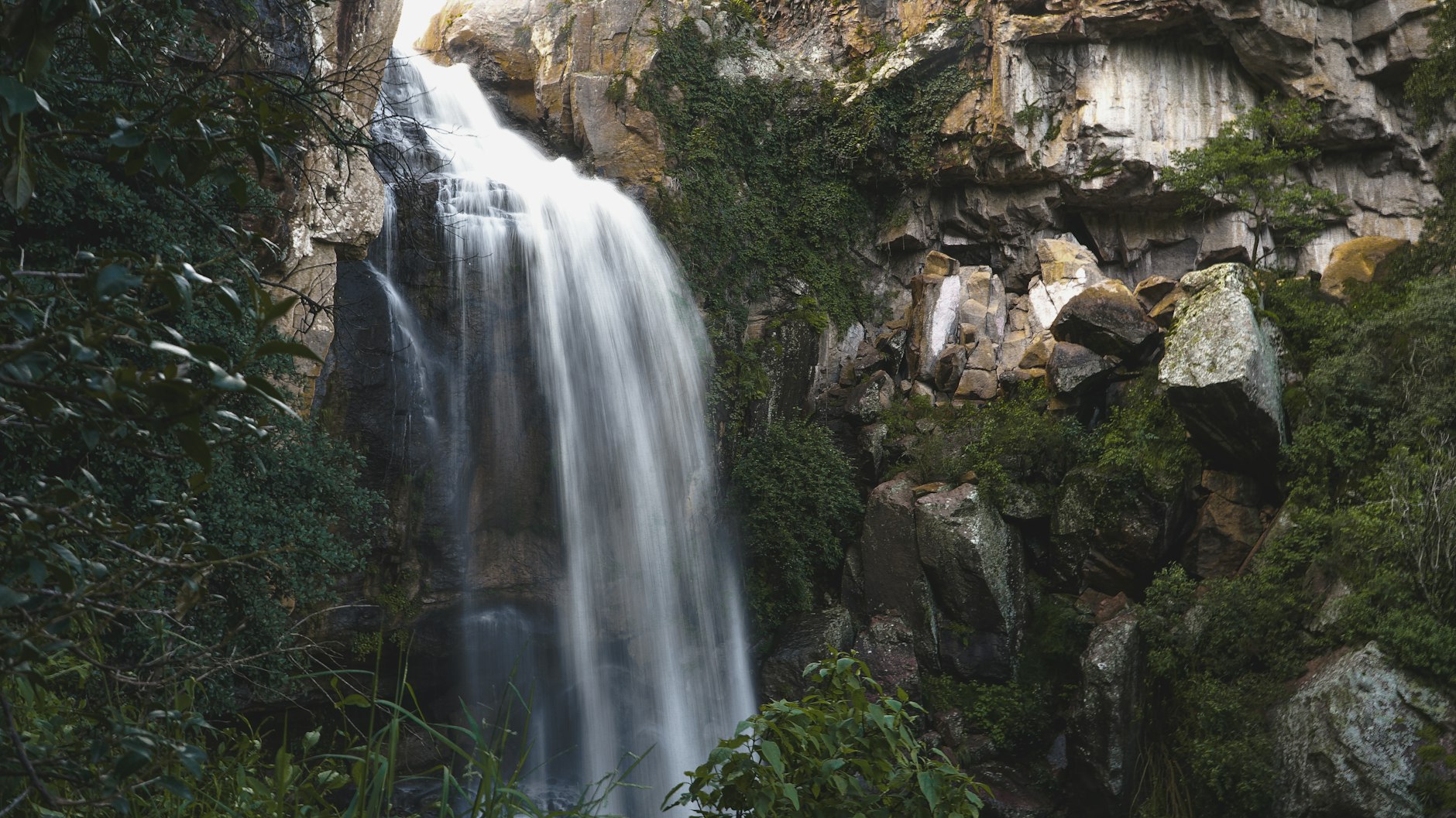
Velo de Novia Waterfall and Other Hikes in Valle de Bravo
The Velo de Novia waterfall in Valle de Bravo is the easiest piece of real forest you can reach from the town: a stream dropping roughly 35 metres through pine and oak woods in Avándaro, a few minutes' drive south of the centre, at the end of a short walk. On its own it fills a morning; combined with one of the viewpoints around the lake, it makes a full hiking day without needing a guide.
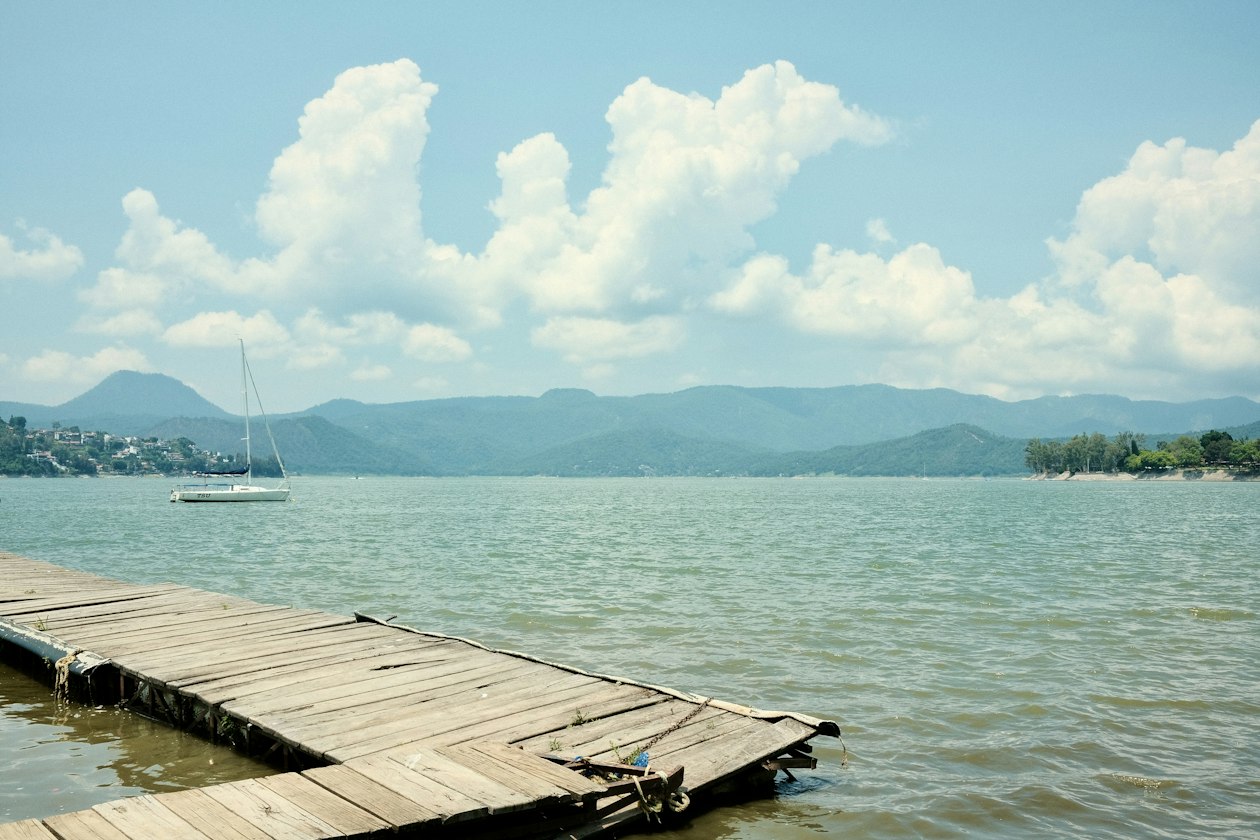
Valle de Bravo sits at about 1,800 m in the highlands of the State of Mexico, on the shore of the reservoir built in the 1940s for the Miguel Alemán hydroelectric system. The hills around it are covered in conifer forest, and that is where the walks are. The table below compares the five most practical ones.
| Walk | Where | Time on foot | Effort | Best for |
|---|---|---|---|---|
| Velo de Novia waterfall | Avándaro, south of the centre | 1–2 hours with the visit | Easy, with steps and uneven ground | Families, forest, photos |
| La Peña | Rock outcrop above the town | About 30 minutes up | Short but steep | Sunset, views of the lake |
| Monte Alto | State park on the edge of town | Half a day | Moderate, long climbs | Longer hikes, watching paragliders |
| Great Bon Stupa | Forested hills outside town | 1–2 hours with the visit | Easy | A quiet walk with a cultural stop |
| Lakeside and municipal pier | Town centre | About 1 hour | Flat | A rest day, evenings |
The Velo de Novia waterfall: what to know
Velo de Novia means "bridal veil", after the way the water spreads as it falls. The stream is the San Juan creek, and the area around the falls is run as a small natural park rather than left as open woodland, which is why the path is maintained and why you go in through a single entrance.
Where it is and how to get there
The waterfall is in Avándaro, the wooded residential area of weekend houses, golf course and spa hotels just south of the old town. By car or taxi it is a short ride from the centre; there is no useful public transport for the last stretch. Most visitors combine it with lunch in Avándaro or with the drive to Monte Alto. If you are still deciding how to reach Valle de Bravo in the first place, our guide on getting from Mexico City to Valle de Bravo compares the bus and the car.
The walk
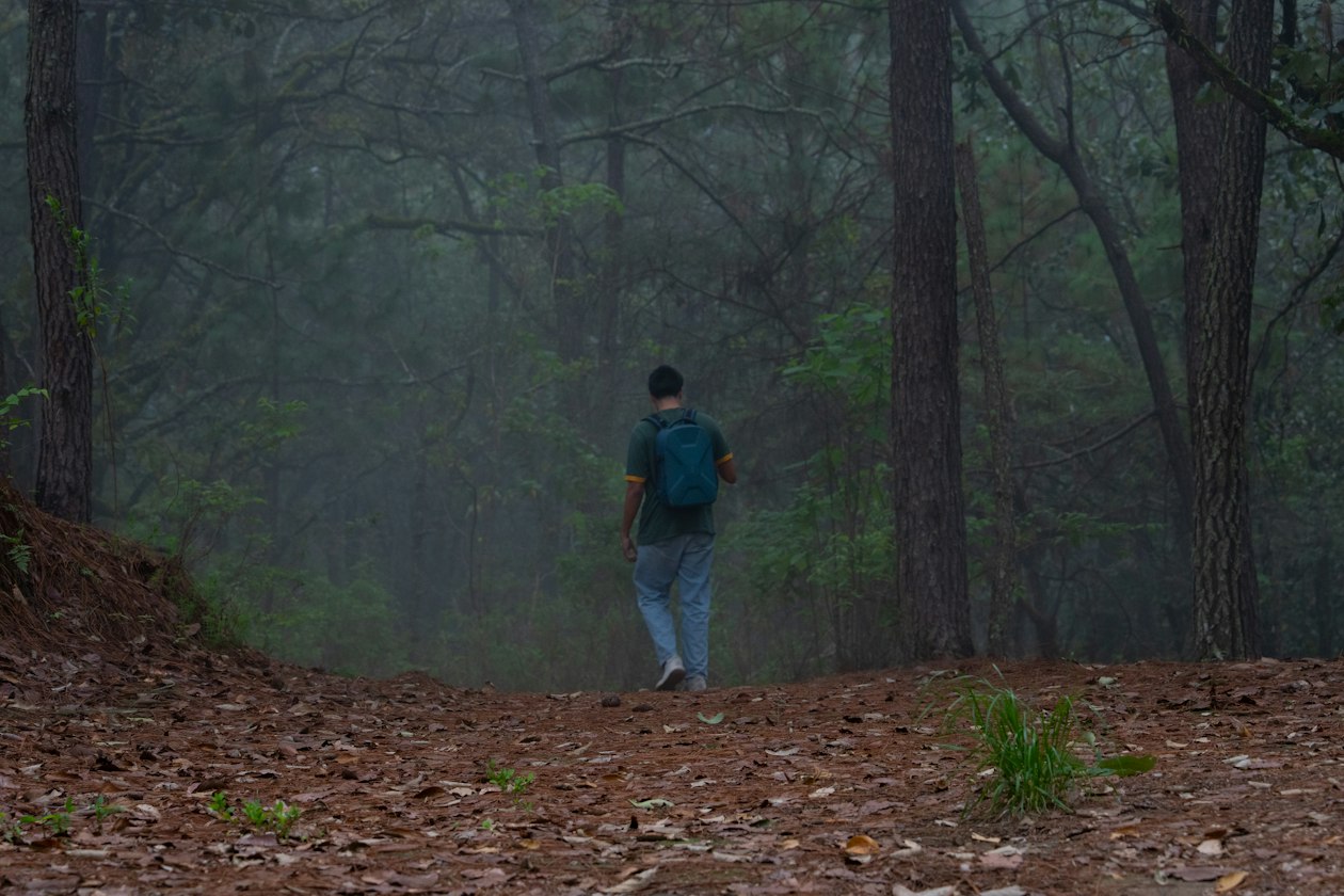
From the entrance a path and stone steps lead down through the trees to the foot of the falls, where there is a pool and rocks to sit on. It is short enough for children, but the ground is uneven and the rocks near the water are wet all year, so wear shoes with grip rather than sandals. Expect to pay a modest entry fee and bring cash; amounts change, so check on arrival rather than relying on old reviews. Horse rides are also offered around Avándaro and are a common way to reach the falls on busy weekends.
When to go
The waterfall depends entirely on rain. It is fullest during and just after the rainy season, roughly June to September, and it can shrink to a thin thread by the end of the dry season in April and May. In the rainy months storms usually arrive in the afternoon, so plan the walk for the morning. Weekdays are far quieter than weekends, when Mexico City visitors fill Avándaro.
If you would rather not organise transport, several of the outings on our Valle de Bravo tours page combine the waterfall with other stops in the forest and on the lake.
Other walks around Valle de Bravo
The waterfall is the shortest forest walk. These four add views, more distance or a change of scene, and all start within a few kilometres of the main square.
La Peña
La Peña is the large rock that rises above the town. The climb to the top takes about half an hour and is steep in places, and the reward is the best view in Valle de Bravo: the red tile roofs, the church towers and the whole lake. It is the classic sunset walk, so carry a torch for the way down.
Monte Alto
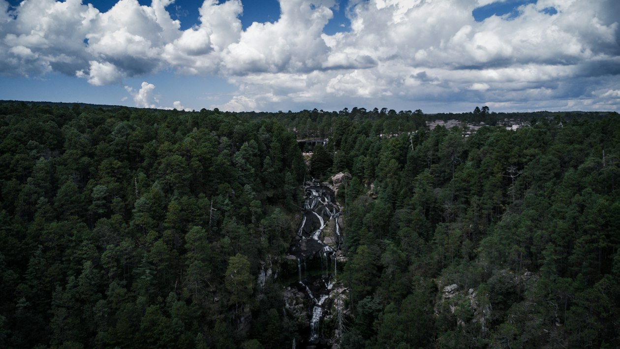
The Monte Alto state park covers the forested mountain on the edge of town. Its trails are used by hikers and mountain bikers, and its upper slopes hold the paragliding launches that made Valle de Bravo famous. A half-day walk there gives you long climbs through the pines and, on clear dry-season days, dozens of wings circling below you. Our post on paragliding in Valle de Bravo explains how the flights from these slopes work.
The Great Bon Stupa
The Gran Stupa Bon para la Paz Mundial stands in the forest outside the town, towards Acatitlán and Los Álamos. The approach is an easy walk among the trees, and the white monument is a calm place to stop. Walk around it clockwise, dress modestly and keep your voice down.
The lakeside and the pier
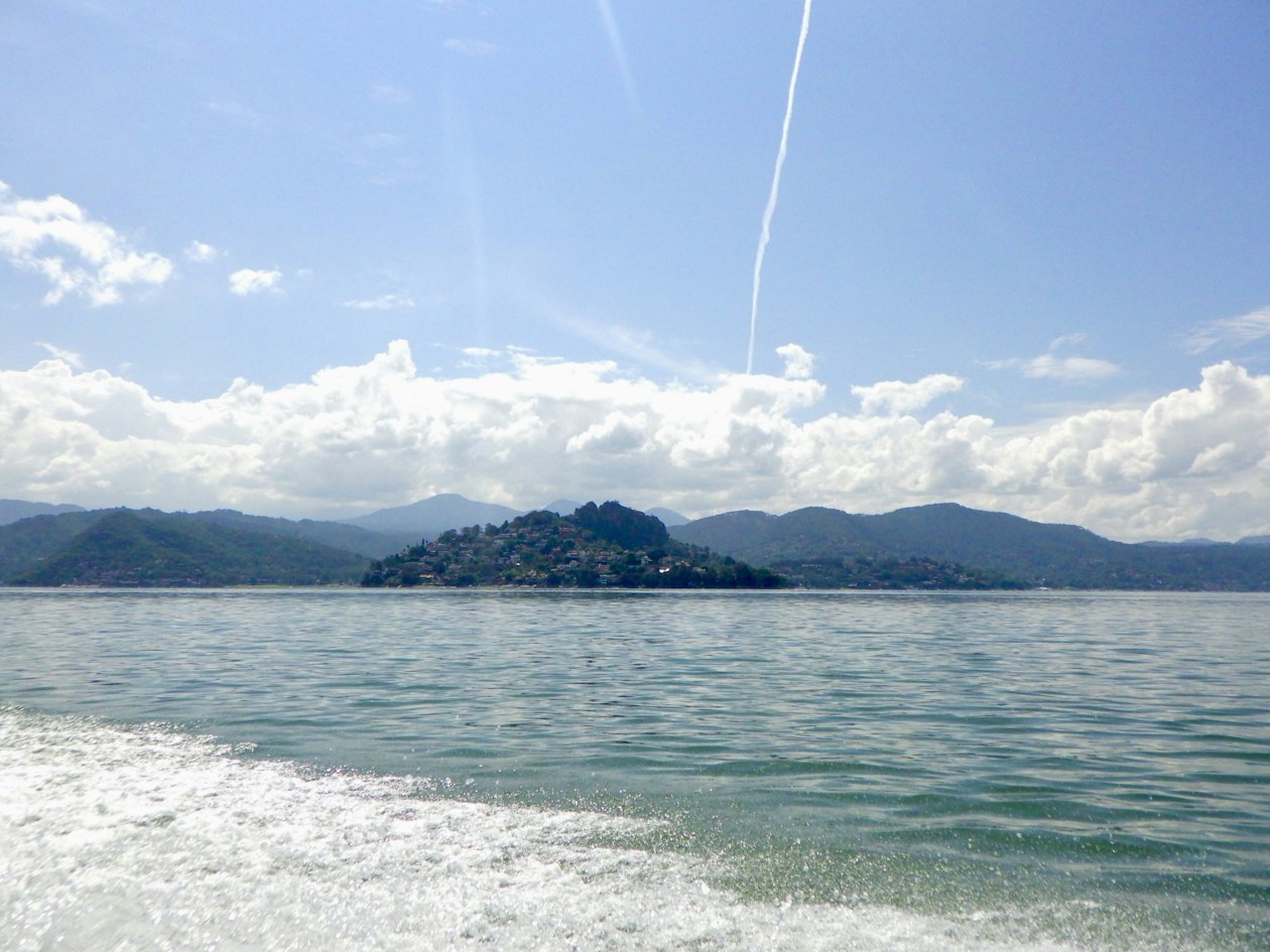
For a flat walk, follow the shore from the municipal pier, a few minutes downhill from the main square. It has restaurants, boat rentals and, at weekends, artists selling their work. It is the right choice for the evening after a day on the trails.
A one-day hiking plan
The walks are close together, so a single day covers the best of them if you have a car or book a taxi in advance:
- Morning: Velo de Novia, before the crowds and, in the rainy season, before the afternoon storms.
- Midday: lunch in Avándaro or back in the centre. Trout from the nearby farms is the local dish.
- Afternoon: Monte Alto for a longer walk, or the Great Stupa for an easy one.
- Sunset: the half-hour climb up La Peña, then dinner by the pier.
With a second day, add the lake by boat. In winter, roughly November to March, the monarch butterfly sanctuary at Piedra Herrada is the other big walk in the area; our guide to things to do in Valle de Bravo covers it together with the rest of the town.
What to bring and how to stay safe
- Shoes with grip. The steps at the waterfall and the rock at La Peña are slippery, especially after rain.
- Layers. At this altitude mornings and evenings are cool all year and cold in winter, while the midday sun is strong.
- Cash. Park entrances, horse rides and food stalls rarely take cards.
- Water and a torch if you plan to watch the sunset from La Peña.
- Respect the water. Do not climb on the rocks at the top of the falls, and stay out of the pool after heavy storms, when the stream rises fast.
Where you sleep shapes the day: a base in Avándaro puts you minutes from the waterfall, while the centre is better for La Peña and the evenings. Our guide on where to stay in Valle de Bravo compares both. For background on the town and its history, the Wikipedia article on Valle de Bravo is a good start.
Frequently Asked Questions
Where is the Velo de Novia waterfall?
In Avándaro, the wooded residential area just south of the centre of Valle de Bravo. It is a short drive or taxi ride from the main square, followed by a short walk from the park entrance to the foot of the falls.
When does the Velo de Novia waterfall have the most water?
During and just after the rainy season, roughly June to September. By the end of the dry season, in April and May, it can be reduced to a thin stream.
Is the walk to the waterfall suitable for children?
Yes. It is short, but it has steps and wet rocks, so children need good shoes and an adult close by near the water.
Can you combine the waterfall with other hikes in one day?
Yes. A common plan is Velo de Novia in the morning, Monte Alto or the Great Stupa in the afternoon and the half-hour climb up La Peña for sunset.
auto_awesome Continue exploring Valle de Bravo
You Might Also Like
 article Exploring calendar_today Oct 12, 2026
 Tlalpujahua and the Christmas Sphere Fair: A Holiday Day Trip from Valle de Bravo
Tlalpujahua, a former gold-mining town in Michoacán, makes tens of millions of glass Christmas spheres a year and sells
 article Travel Tips calendar_today Oct 11, 2026
 Where to Stay in Valle de Bravo: Centro, Avándaro or on the Lake
Valle de Bravo has four kinds of base: the walkable Centro, the wooded Avándaro area, houses and hotels on the lakeshore
 article Travel Tips calendar_today Oct 9, 2026
 How to Get from Mexico City to Valle de Bravo: Bus, Car or Tour
Valle de Bravo is about 140 km west of Mexico City: two and a half to three hours by car via Toluca, a little more by di